

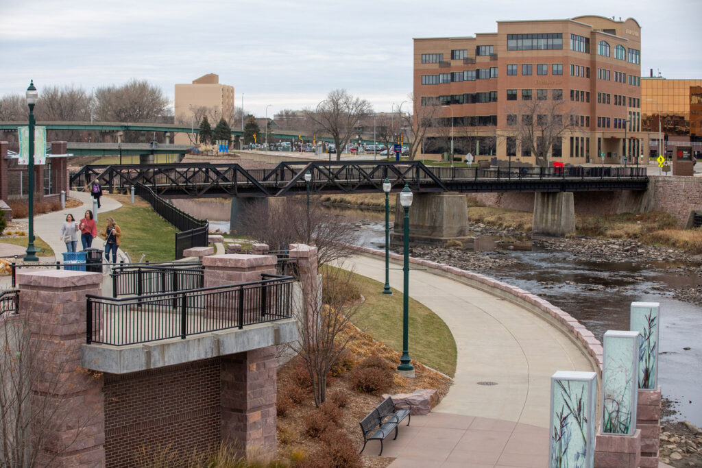
Will winter now start feeling like winter? Here’s the latest outlook
There’s a friendly pool at the Sioux Falls office of the National Weather Service to guess the date of the city’s first measurable snowfall.
And there’s yet to be a winner.
“We keep backing it up, and everyone keeps guessing,” meteorologist in charge Todd Heitkamp said.
This week will bring the first stretch of temperatures closer to normal, representing a drop of 20 to 30 degrees over some record highs in the 60s to end November and start December.
With only a trace of snow in November, “a lot of people think that shortens winter dramatically,” Heitkamp said. “There have been many years when we’ve had a lot of snow in October.”
The 30-day outlook for December calls for above-normal temperatures and below-normal precipitation, he added.
“Even with a cold snap, we’re not talking about well-below-normal temperatures.”
White Christmas?
Look farther into the month, though, and Heitkamp is willing to speculate things might change.
“I think it’s going to be a white Christmas,” he said. “The closer we get, the odds are against that, but I think the weather pattern is shifting a bit. We’ll have a better chance of snow in the next few weeks.”
But don’t think you’re necessarily going to spend the holiday shoveling.
“I wouldn’t say there would be enough to break out the sled,” Heitkamp said. “But we still have a long ways to go.”
Beyond that
The outlook for January and February calls for normal or below-normal temperatures and normal precipitation, though March could start a warm-up again.
“I think we’ll still have our bouts of Old Man Winter this year,” Heitkamp said. “There’s no doubt about that.”
Share This Story
Most Recent
Videos


Looking amazing @dtsiouxfalls and @washpav! Thanks to @jpickthorn for capturing an incredible night.
Nov 26

Enjoy this glow headed into Halloween week! 📸: @jpickthorn
Oct 31
Hope you had a wonderful summer weekend and are recharged for the week ahead! 📸: @jpickthorn
Jun 27
Beautiful way to start a week! 📸: @jpickthorn
Jan 10
Favorite flyover of the year! Merry Christmas from our entire @pigeon605news flock. 🎄🐦 📸: @actsofnaturephotography
Dec 24
They definitely deserve to be treated like holiday royalty and they were! ❤️ these scenes from tonight’s lighting celebration at @sanfordhealth Children’s Hospital. 🎄
Dec 1
The holidays are here! Perfect night @dtsiouxfalls
Nov 27
Happy Halloween from @avera_health NICU babies! Link in bio to see more! 🎃
Oct 31
Did you know @dtsiouxfalls is filled with 👻 stories? Link in bio … if you dare 😱
Oct 8
When it comes to kids parties nobody wants to be cookie-cutter. Link in bio for the story on what’s trending.
Sep 28
Want to stay connected to where you live with more stories like this?
Adopt a free virtual “pigeon” to deliver news that will matter to you.
Read More


Are you a little bird with something to share?

Delivering news that matters to you
Years ago, homing pigeons were used to bring us news we needed. Today, your virtual “pigeon” will deliver what you want to know about the place you call home.
All pigeons are free to good homes!
Our Partners


